The UNBC Forest Lands Map is a pdf document with additional features including Layers and Georeferencing
Layers
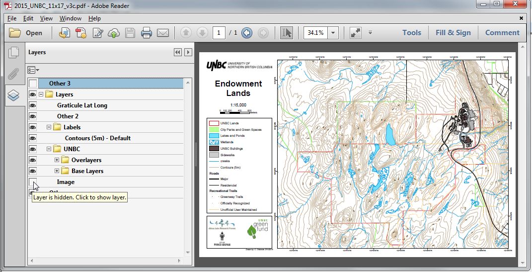
The map provides some additional functionality allowing for customized printing. Users are to turn on and off layers enabling them to print the map in a way that best suites their needs. For example, users could turn off the aerial imagery, contours, roads, and trails etc. This image displays the controls in the freely available Adobe Reader
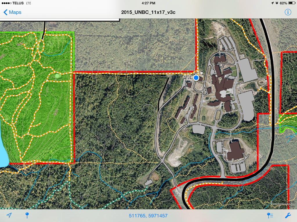
Georeferenced
When used on a cellular enabled mobile device (e.g. smartphone or cellular capable tablet) and using software like ‘PDF Avenza‘ (available on iOS and Android) the map will display the users current position. This image is a screenshot from a tablet (blue dot was the users location at the time).